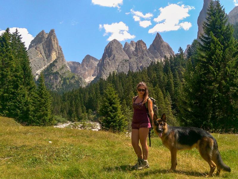
This circular hike, best divided into two days, leads to three mountain huts and crosses the most beautiful places of the Sciliar-Catinaccio Nature Park in the Dolomites
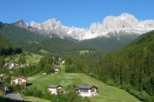
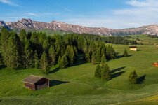
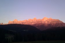
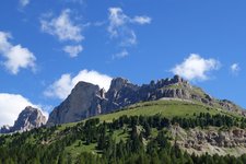
Image gallery: Hike between Catinaccio and Mt. Sciliar
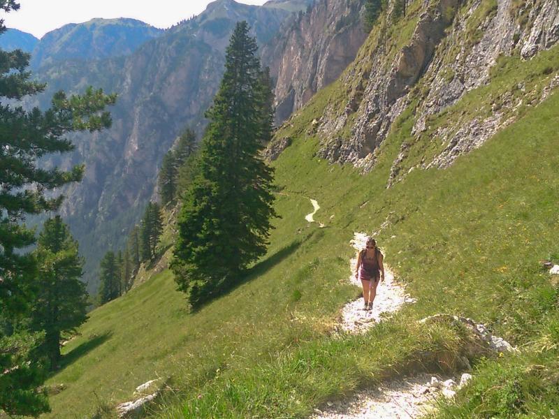
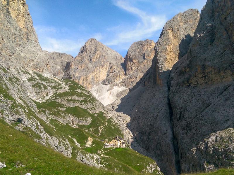
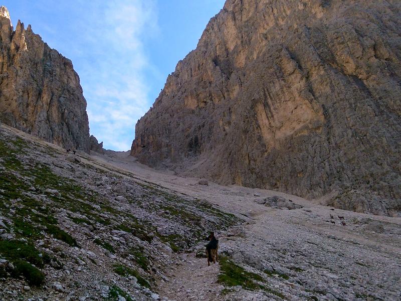
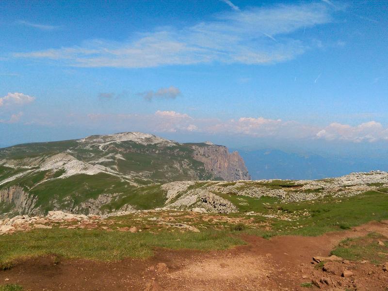
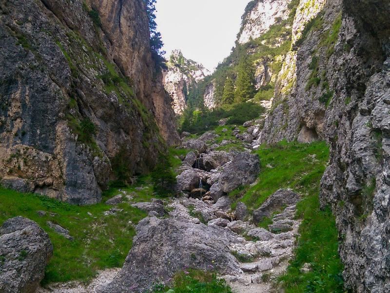
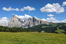
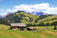
Our hike starts at the parking space in Lavina Bianca / Weisslahnbad near Tires al Catinaccio, not far from the information point of the Sciliar-Catinaccio Nature Park "Steger Säge". The path no. 3 leads us upwards into the pristine Val Ciamin valley: it is situated between the southern foothills of the Sciliar and the rocky towers in the middle of the Catinaccio group. At the end of the valley the path divides: we keep to the right and follow path no. 2A, which leads uphill through the Vallone del Principe / Grasleitental valley to the Rif. Bergamo mountain hut at 2,164 m a.s.l. Here we spend our night.
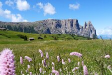
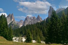
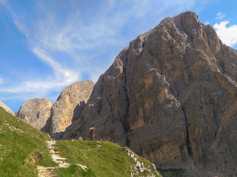
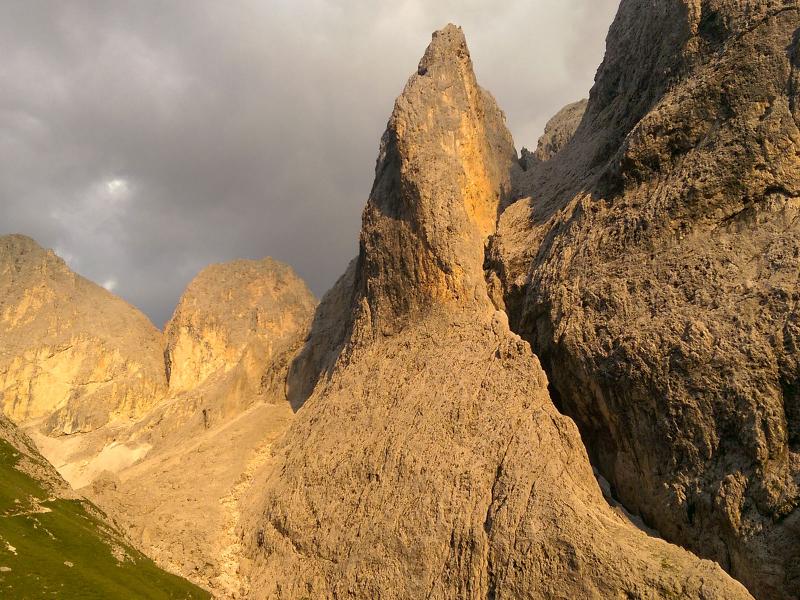
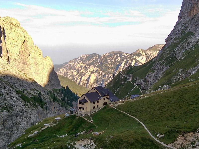
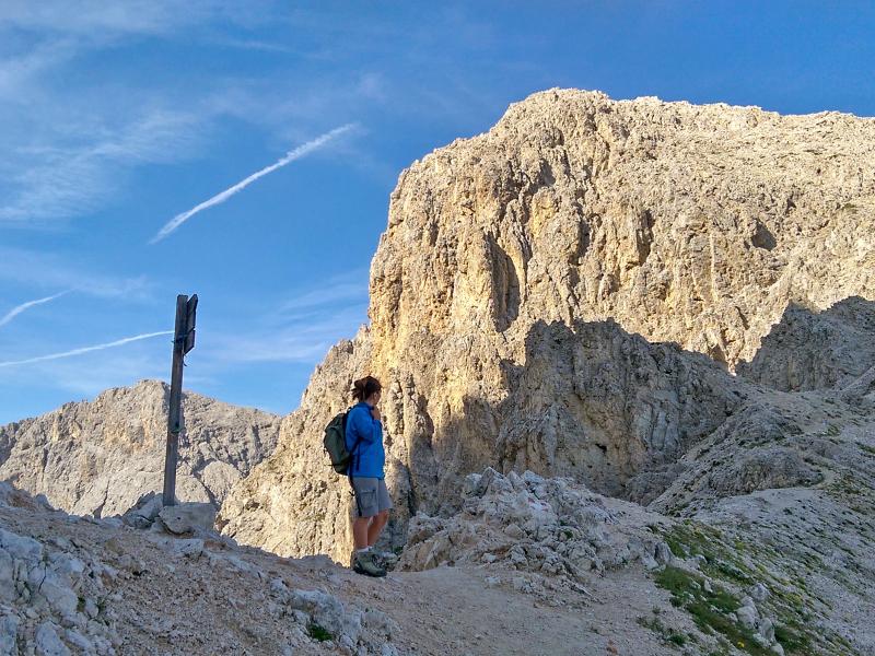
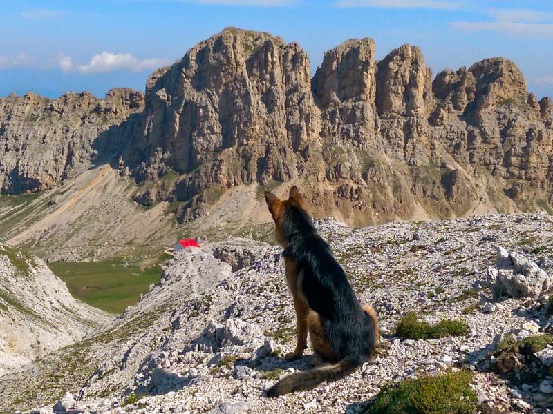
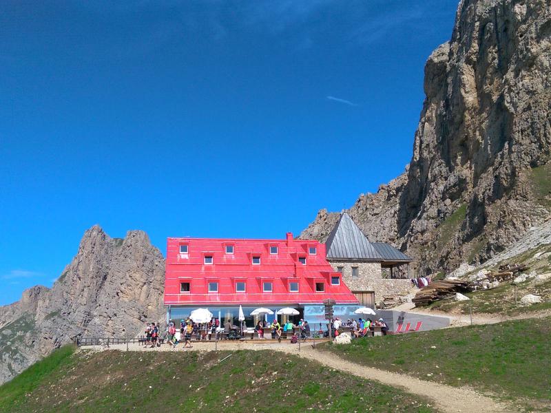
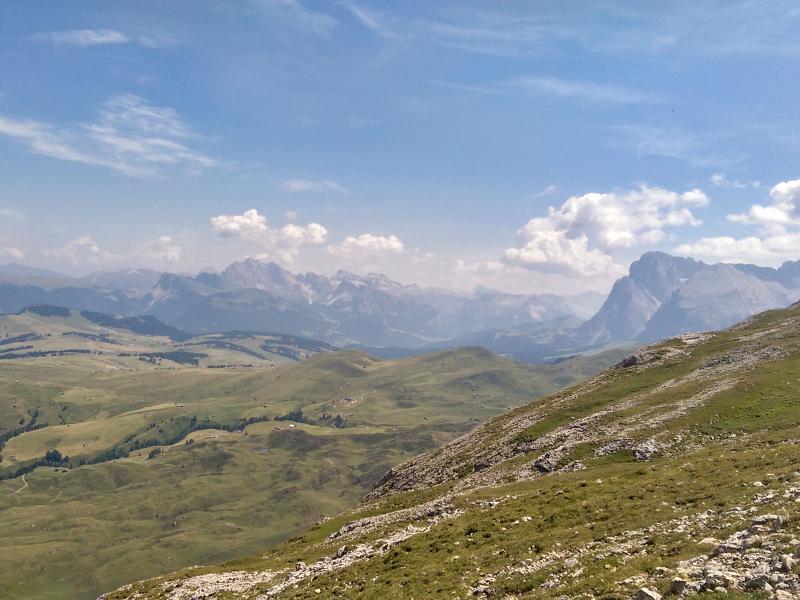
After a hearty breakfast we are ready for the adventure of the second day. On trail no. 3 we enter the wild hollow between the 2,845 m high Molignon, Croda dei Cirmei and Cime di Valbona. At the next junction we keep left and climb up in serpentines to the 2.598 m high Molignon Pass. Another short descent, then we can make out the red roof of the Rif. Alpe di Tires mountain hut (2,440 m a.s.l.) at the foot of the majestic Denti di Terrarossa. Here we make ourselves comfortable before we return to the high plateau of the Sciliar and the Rif. Bolzano mountain hut (2,457 m above sea level), where the Alpe di Siusi is at our feet.
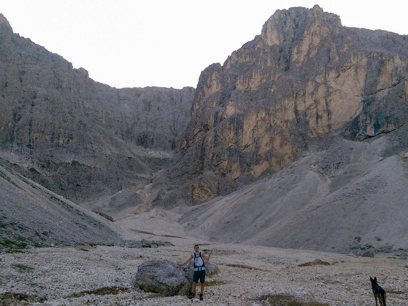
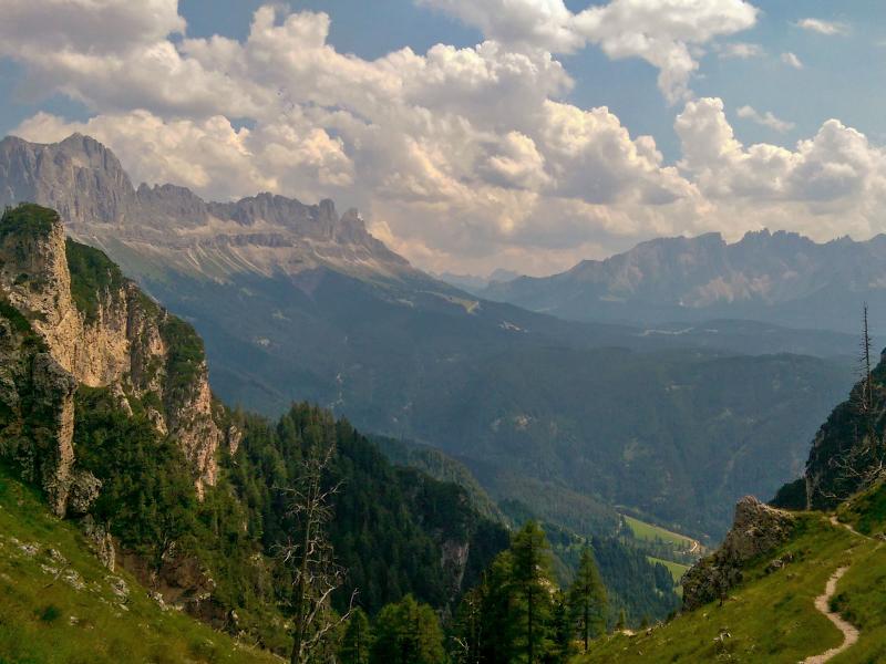
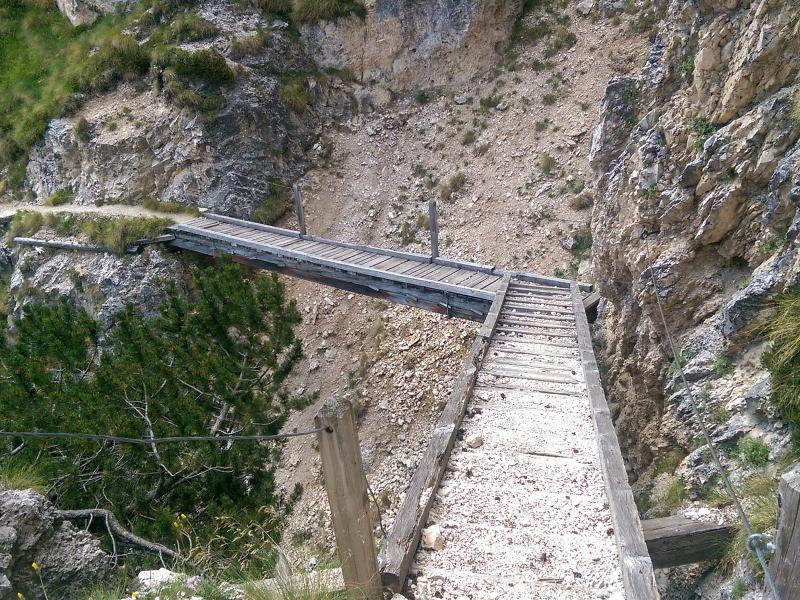
The steep descent on the Prügelsteig path soon takes us down to 1,940 m a.s.l., where the Malga Seggiola hut is located. A short way we have to walk up to the Sella Cavaccio saddle and then from the Gola dell’Orsara down to Lavina Bianca, our starting point. The stairs and wooden footbridges that can be found at the upper part of the Orsara Gorge make our descent easier. Nevertheless, caution is required and surefootedness is absolutely essential!
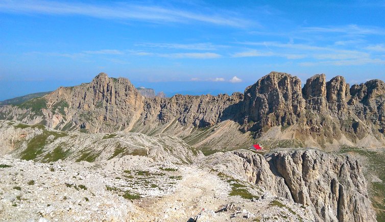
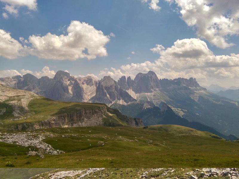
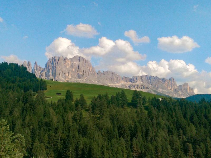
For experienced hikers the tour can be done in one day. It offers unforgettable panoramic views in the unique protected landscape of the Catinaccio-Sciliar Nature Park and the Dolomites.
Author: Giacomo Roccabruna
-
- Starting point:
- parking space in Lavina Bianca / Weisslahnbad near Tires al Catinaccio
-
- Overall time:
- 09:00 h
-
- Total route length:
- 21,6 km
-
- Altitude:
- from 1.185 m to 2.654 m
-
- Altitude difference (uphill | downhill):
- +1937 m | -1937 m
-
- Route:
- Lavina Bianca / Weisslahnbad - Val Ciamin / Tschamintal - Rifugio Bergamo / Grasleitenhütte - Alpe di Tires / Tierser Alpl - Rifugio Bolzano / Schlernhaus - Lavina Bianca / Weisslahnbad
-
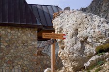
- Signposts:
- No. 3, 3A, 4, 1, 9, 2
-
- Resting points:
- Tschaminschwaige / Rifugio Ciamin - Rifugio Bergamo / Grasleitenhütte - Alpe di Tires / Tierser Alpl - Rifugio Bolzano - Sesselschwaige / Malga Sessel
-
- Recommended time of year:
- Jan Feb Mar Apr May Jun Jul Aug Sep Oct Nov Dec
-
- Download GPX track:
- Hike between Catinaccio and Mt. Sciliar
We highly recommend checking the weather and trail conditions in advance and on site before starting this tour.