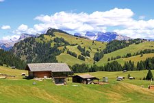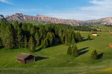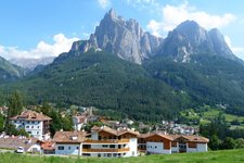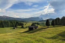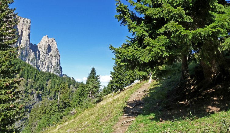
The Geologist’s Trail starts in Bagni di Ratzes in the vicinity of Siusi allo Sciliar and takes us up to Malga Prossliner and to the Malghetta Sciliar hut
Image gallery: Along the Geologist's Trail to Siusi and the Alpe di Siusi
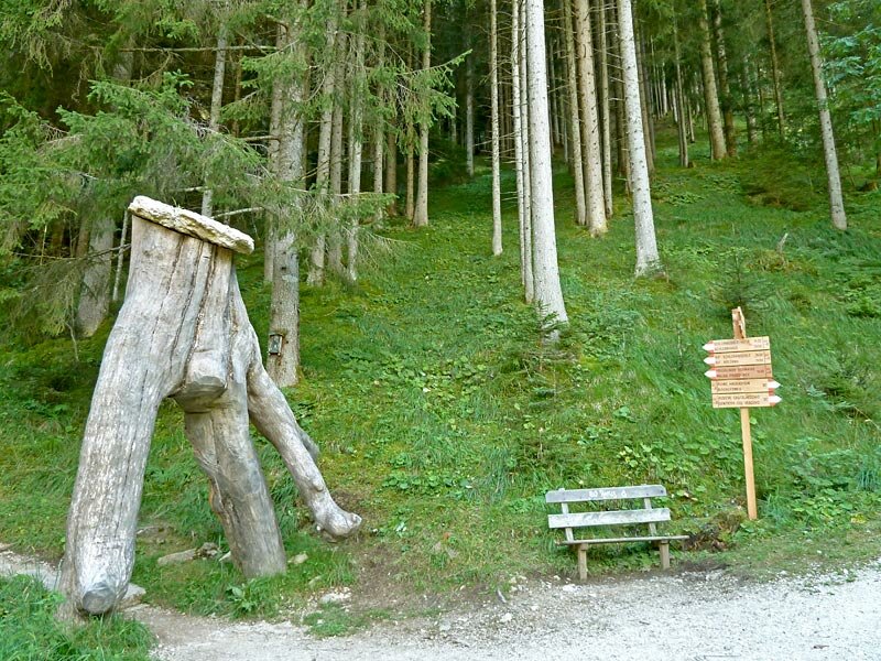
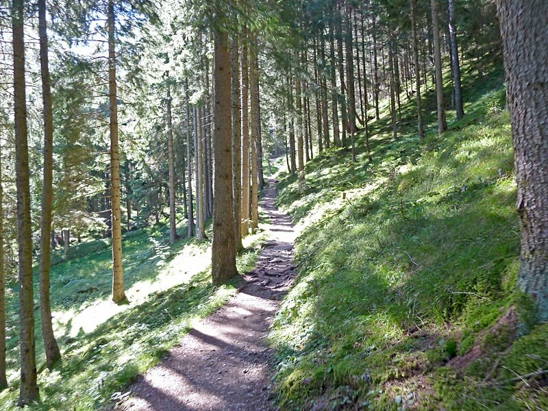
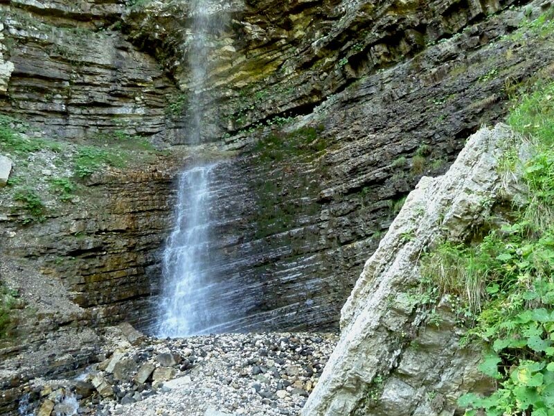
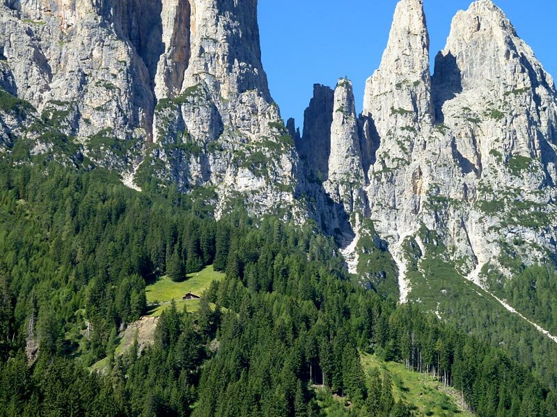
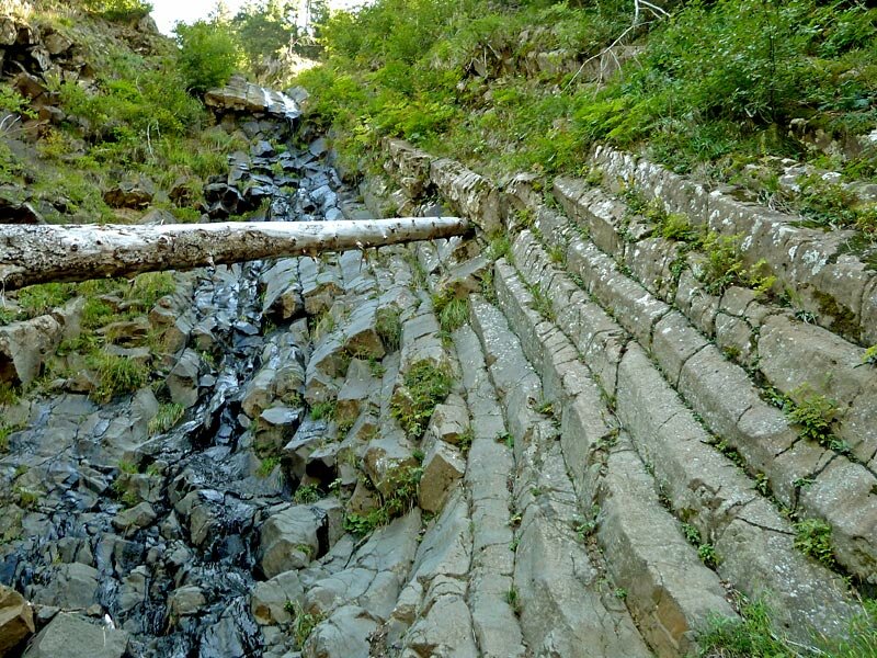
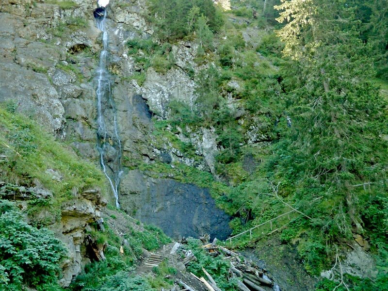
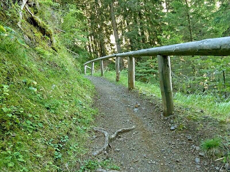
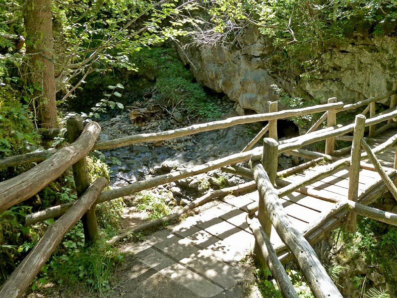
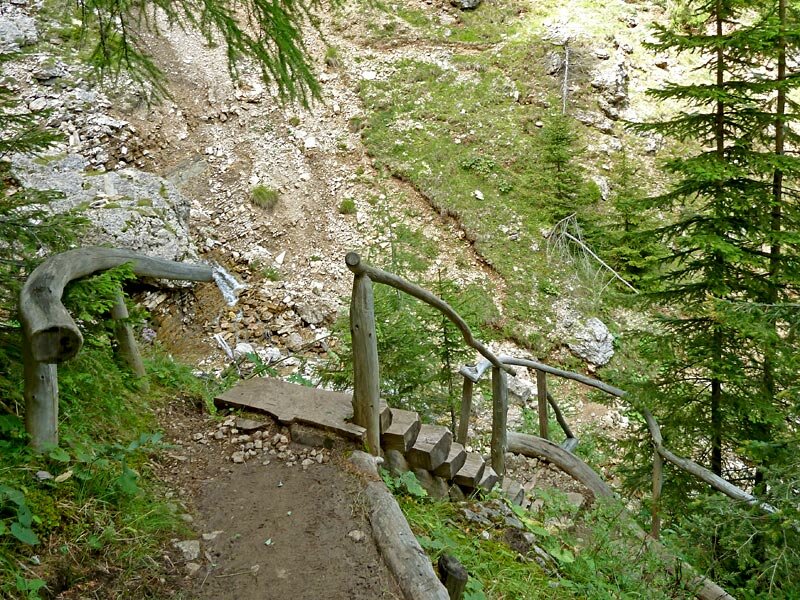
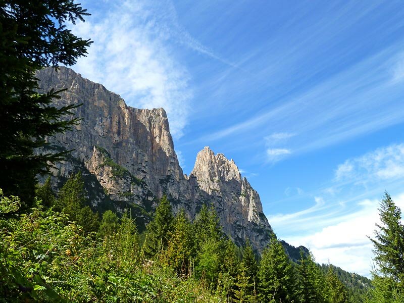
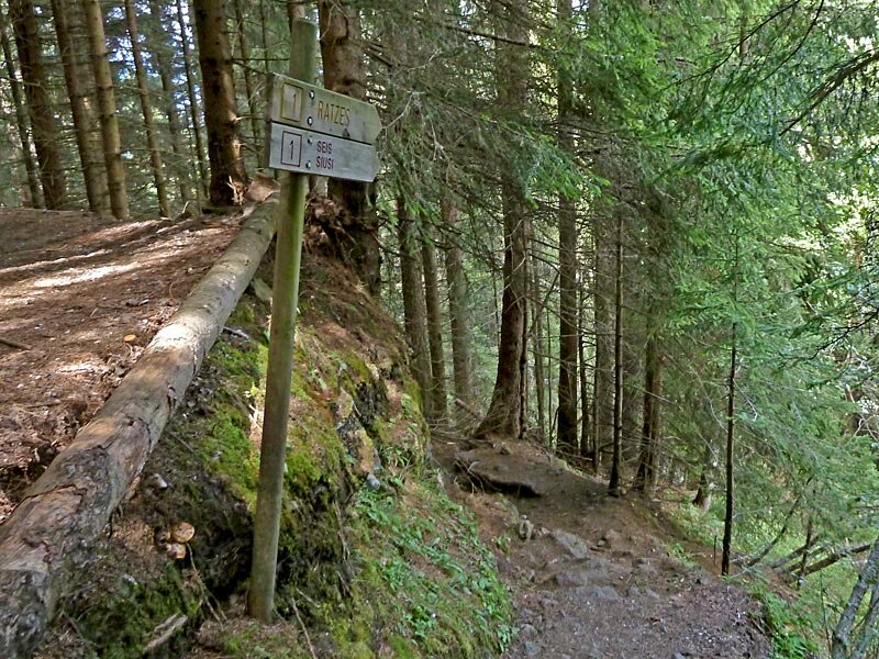
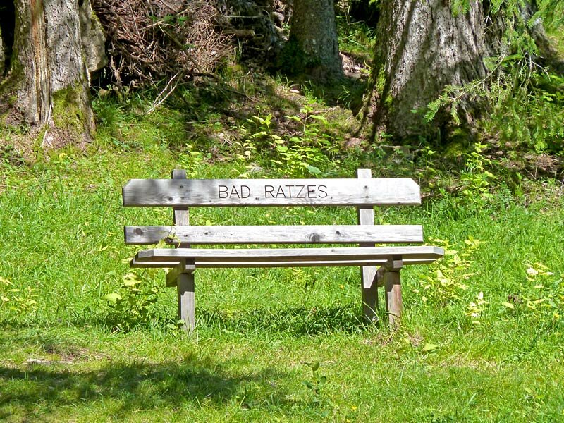

Our hike starts at the springs near Bagni di Razzes east of the village of Siusi at the car park and the bus stop where the bus to Siusi stops. We take path no. 1 and cross the bridge over the Frötsch brook. Then, we pass under a wood carved sculpture made of an old tree trunk and take the forest path through the valley. At the fork we follow path no. 1A to malga Prossliner.
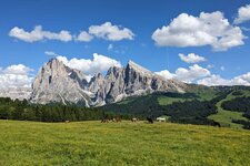
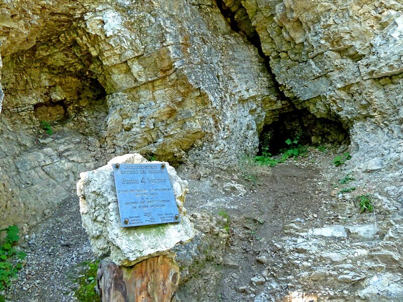
The Geologist's path was equipped with 10 information boards providing interesting information on the rocks of the area. They were set up by the natural parks department of the Province of Bolzano. The deep crack in the gorge showing the rock layers of the Dolomites was carved into Mt Sciliar by a brook. The route climbs from the marvellous waterfalls at 1,212 m a.s.l. near Bagni di Razzes to the malga Prossliner Schwaige at 1,740 m a.s.l. As we leave the deep gorge, the verdant alpine pastures and meadows of the Alpe di Siusi extend in front of us, delighting us with stunning panoramic views of the Dolomites, the Sciliar and the Denti di Terrarossa.
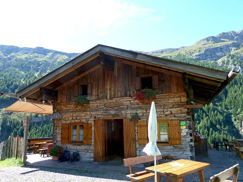
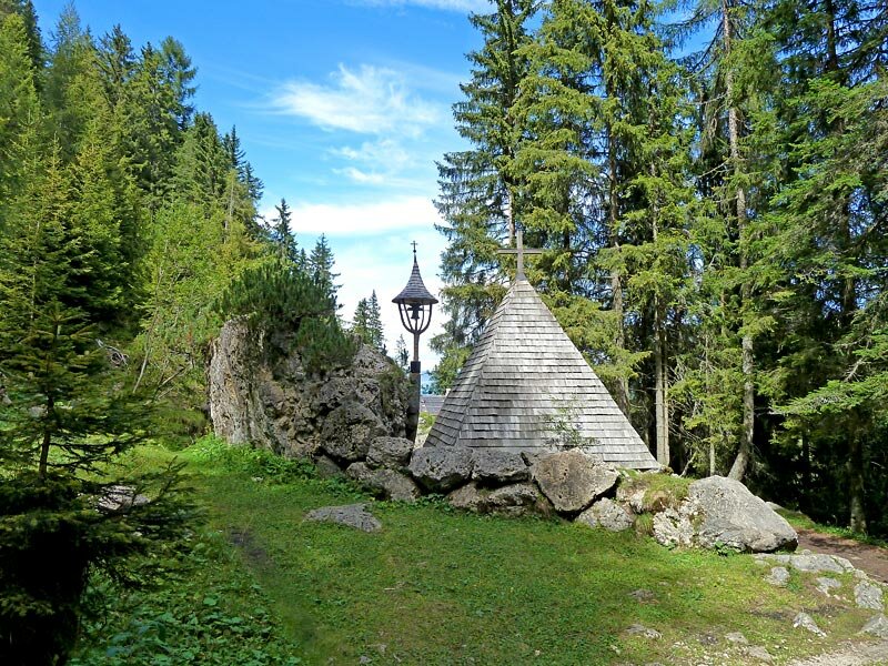
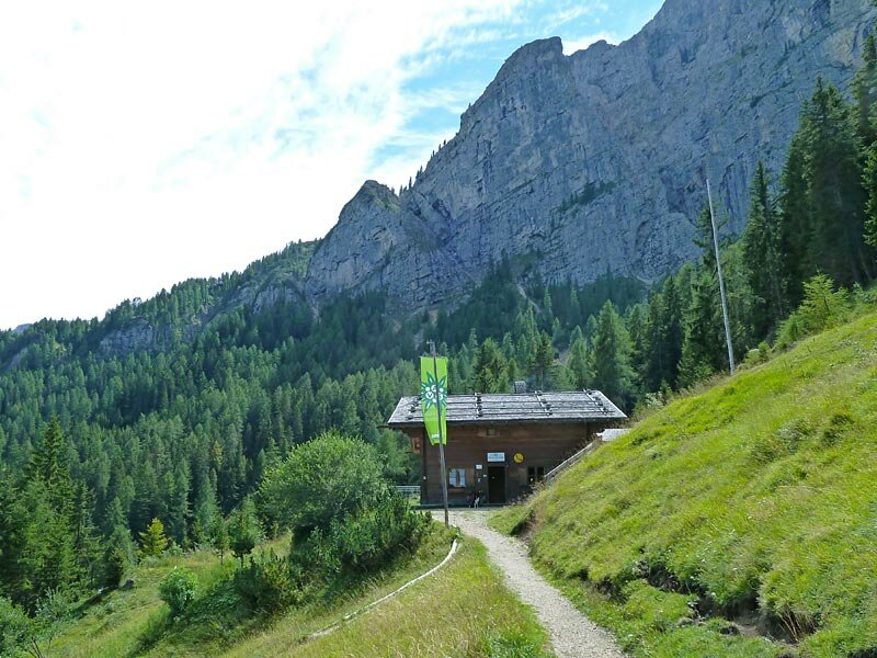
We continue along path no. 1A until the end of the valley where we switch side and take path no. 1 (Touristensteig) to the Malghetta Sciliar hut at 1,693 m a.s.l. run by the Alpenverein. We stop for a break and visit the chapel dedicated to the hikers and alpinists who injured themselves or died in the mountains. We return to Bagni di Razzes on a very steep but still well-maintained path.
Date of the hike: 29 August 2010
Last updated in: 2026
Author: AT
-
- Starting point:
- Bagni di Razzes near Siusi allo Sciliar
-
- Overall time:
- 03:05 h
-
- Total route length:
- 9,2 km
-
- Altitude:
- from 1.210 m to 1.822 m
-
- Altitude difference (uphill | downhill):
- +618 m | -618 m
-
- Route:
- Bagni di Razzes - Geologist's Trail - Prossliner alpine pasture - Malghetta Sciliar mountain hut - Bagni di Razzes
-
- Signposts:
- 1, 1A
-
- Resting points:
- Prossliner Schwaige, Schlernbödele mountain hut
-
- Recommended time of year:
- Jan Feb Mar Apr May Jun Jul Aug Sep Oct Nov Dec
-
- Download GPX track:
- Along the Geologist’s Trail to Siusi and the Alpe di Siusi
If you want to undertake this hike, we recommend checking the weather and trail conditions in advance and on site before starting this hike!