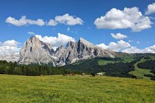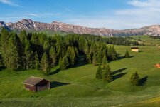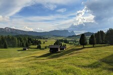
This high alpine tour starts on the Alpe di Siusi and leads up to the 2,600 m high Denti di Terrarossa (Horse Teeth) rock formations
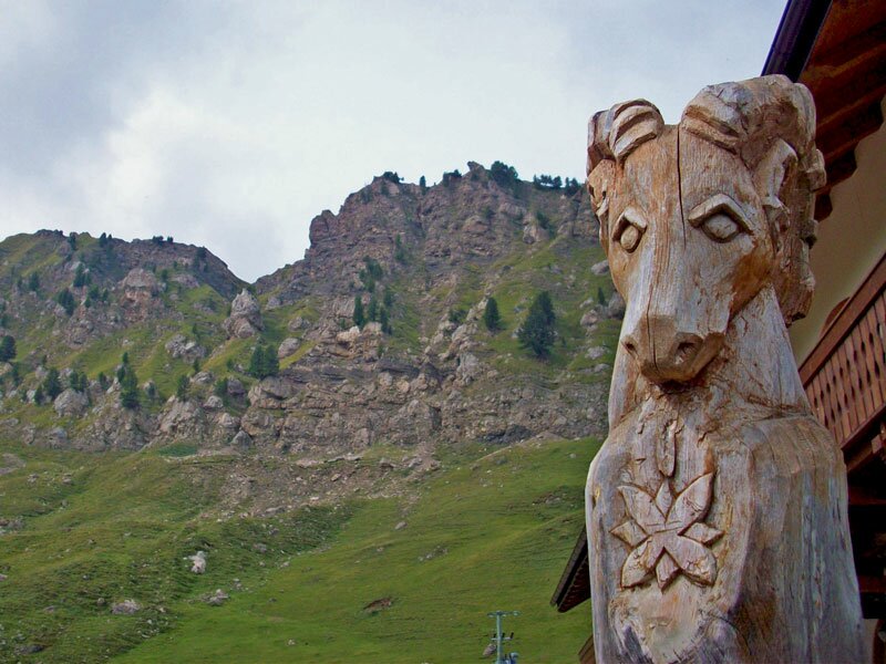
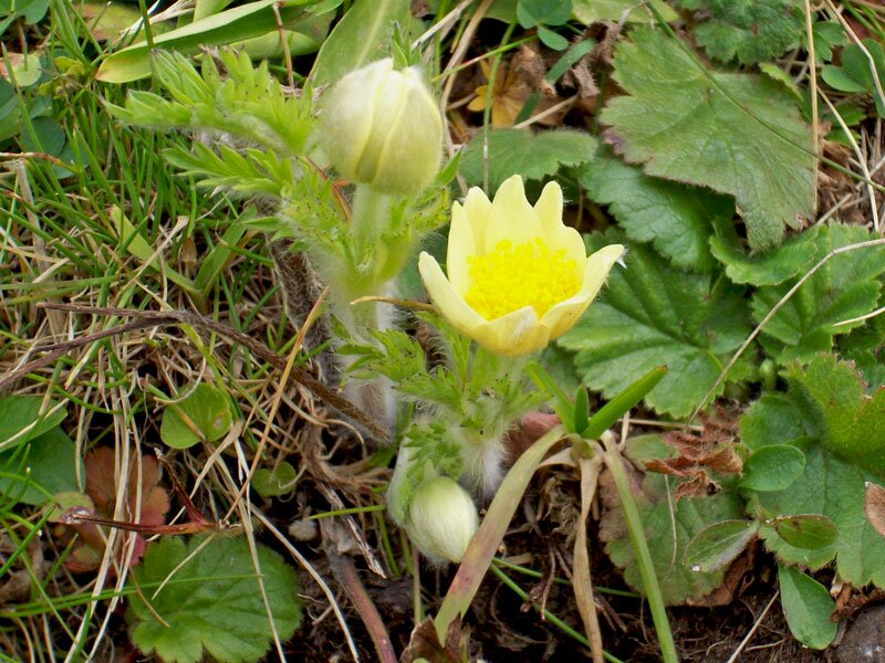
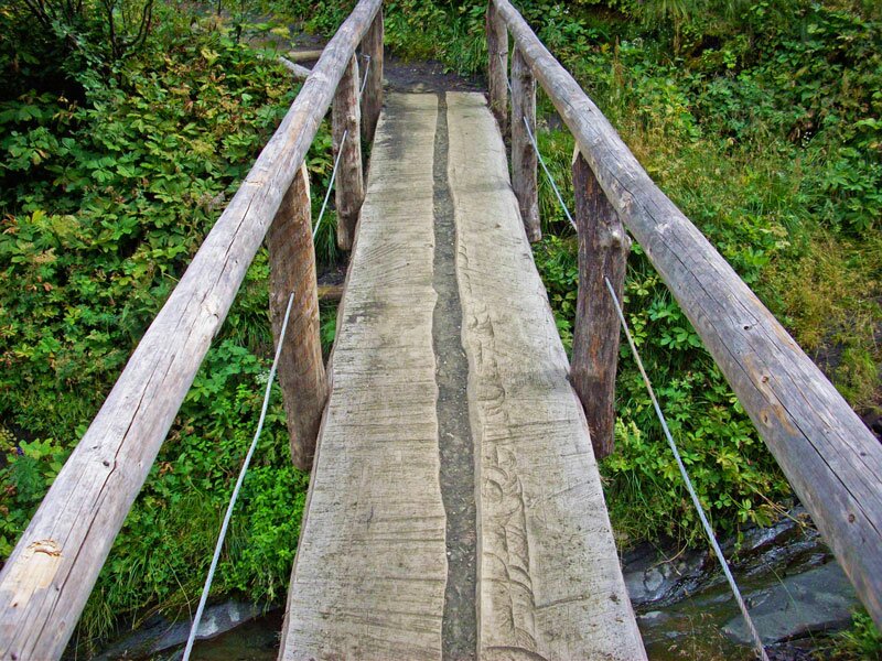
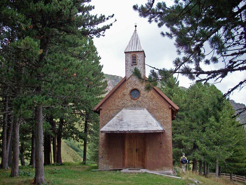
Image gallery: Hiking tour to the Denti di Terrarossa
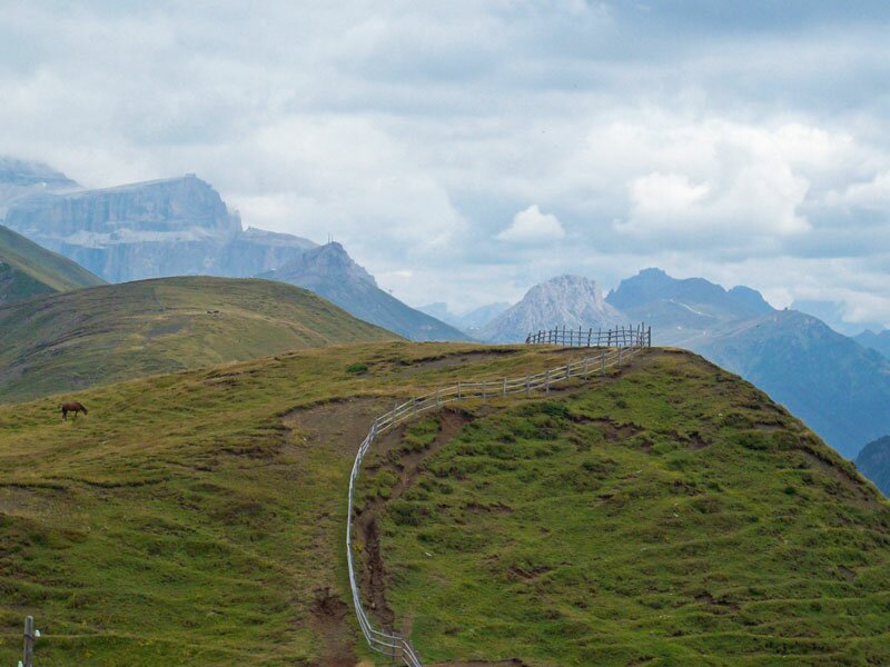
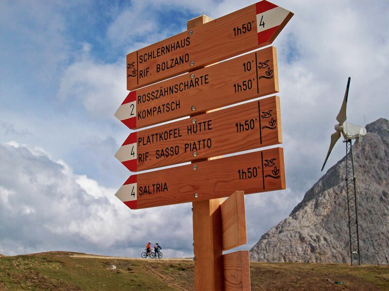
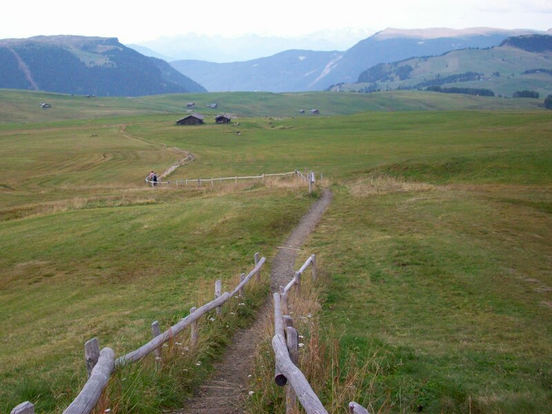
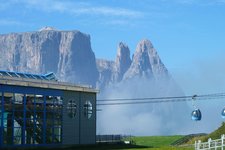
Starting of our hiking tour at the mountain station of the Alpe di Siusi Cable Car in Compaccio (1,800 m a.s.l., Compaccio is reachable also by car before 9 am), we follow trail no. 7 to the Molignon mountain hut. From here, the gentle pastures landscape gives way to a high mountains nature with some small ravines. We continue on trail no. 7 until we reach the Dialer mountain hut (2,153 m).
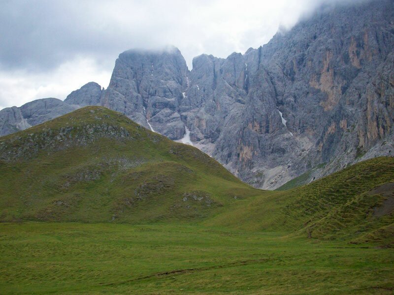
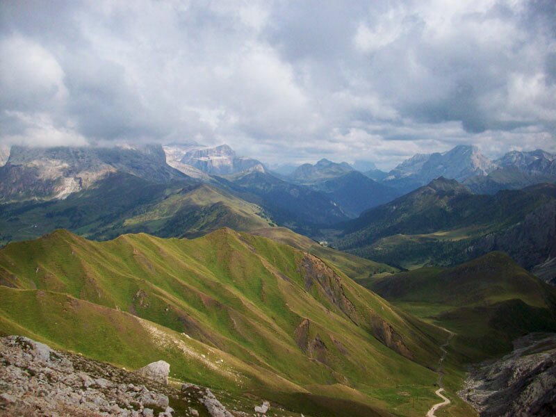
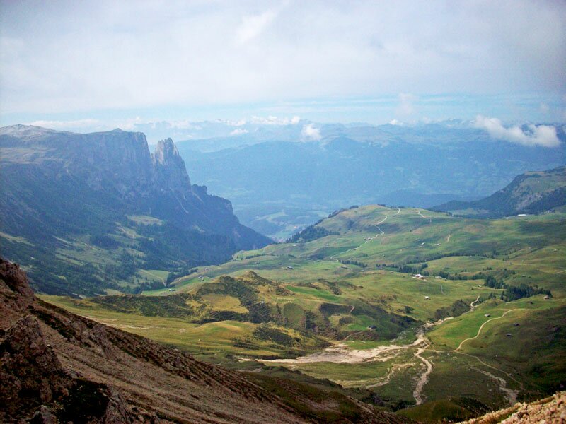
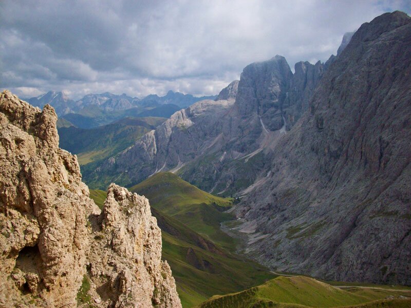
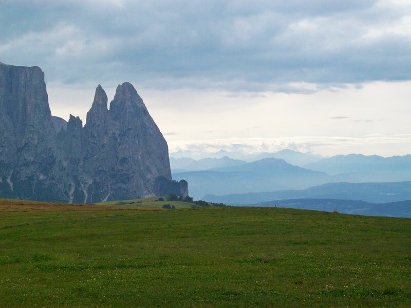
We continue our tour westwards on the quite steep gravel trails no. 8 and 4. On our left we see Mt Molignon in the impressive Catinaccio Group. On our right there are the red shimmering peaks of the Denti di Terrarossa (Horse Teeth) rock formations. Moreover, we see the Val di Fassa (Trentino) under us, as well as the Sella Group and Mt Marmolada, with 3,343 m the highest peak of the Dolomites, east of us.
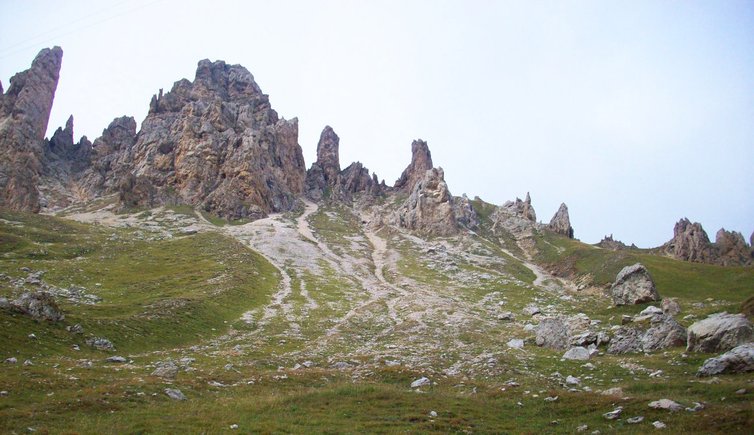
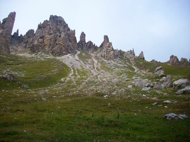
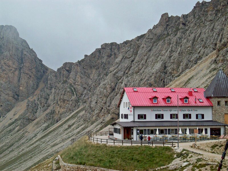
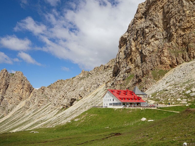
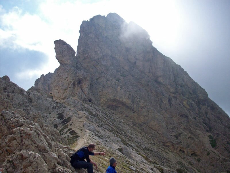
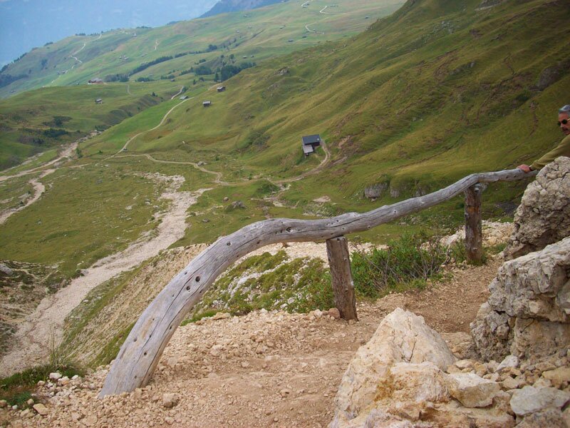
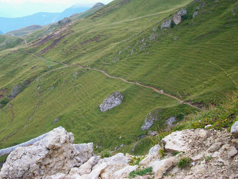
At a height of 2,440 m we finally reach the Alpe di Tires mountain hut. After a short rest we continue our tour towards north right under the Denti di Terrarossa, where the green meadows and beautiful alpine flowers contrast sharply with the impressive peaks of the Denti di Terrarossa, which seem to grow out of the ground like Gothic cathedrals. Trail no. 2 gets narrower and narrower until we finally reach the Denti di Terrarossa saddle at 2,500 m. Here, the panorama of the Alpe di Siusi, Mt Sciliar and the Trentino Dolomites is very impressive. After a short rest we descend on a narrow, very steep trail on the opposite side of the Denti di Terrarossa. Across green hills and meadows we finally hike towards the Hotel Panorama, where we follow trail no. 2, which leads us back to our starting point Compaccio.
Information: because of the steep descent, hiking boots are absolutely requested and we also recommend hiking poles!
Author: AT
-
- Starting point:
- Compaccio, Alpe di Siusi
-
- Overall time:
- 05:30 h
-
- Total route length:
- 17,1 km
-
- Altitude:
- from 1.839 m to 2.476 m
-
- Altitude difference (uphill | downhill):
- +781 m | -781 m
-
- Route:
- Compaccio - Rifugio Molignon / Mahlknechthütte - Rifugio Alpe di Tires / Tierser Alpl - Forcella Denti di Terrarossa / Rosszahnscharte - Compaccio
-
- Signposts:
- N. 7, 8, 4, 2, S, 7
-
- Resting points:
- Rifugio Molignon / Mahlknechthütte, Rifugio Alpe di Tires / Tierser Alpl
-
- Track surface:
- Road (asphalt 30%, gravel 50%), hiking trail 20%
-
- Recommended time of year:
- Jan Feb Mar Apr May Jun Jul Aug Sep Oct Nov Dec
-
- Download GPX track:
- Hiking tour to the Denti di Terrarossa
We highly recommend checking the weather and trail conditions in advance and on site before starting this tour.