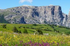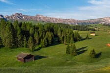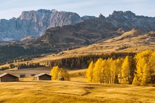
Relaxing, reflecting and meditating - that’s the Peace Trail to the Colle, a hill near Castelrotto
Image gallery: Walking tour along the Castelrotto Peace Trail
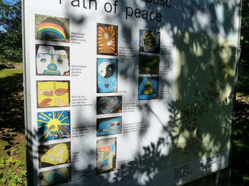
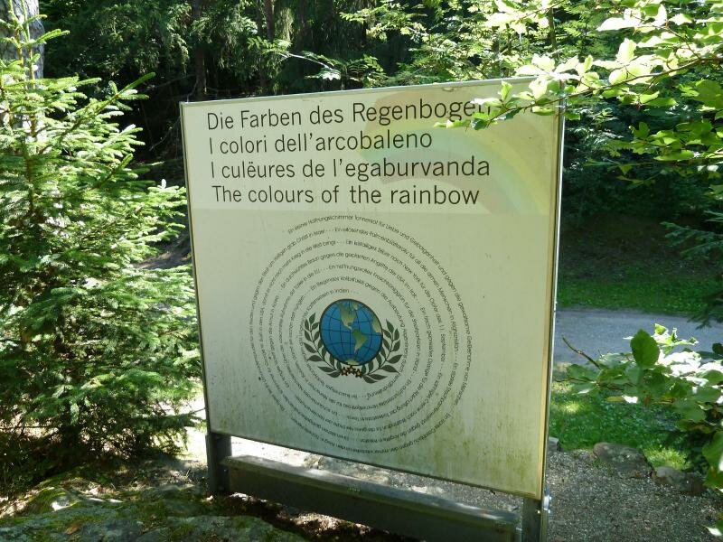
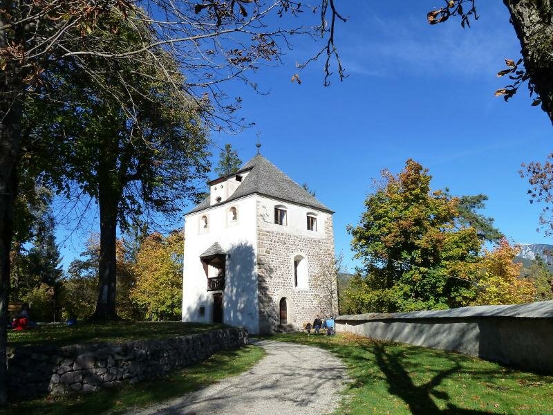
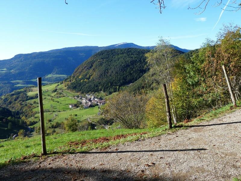
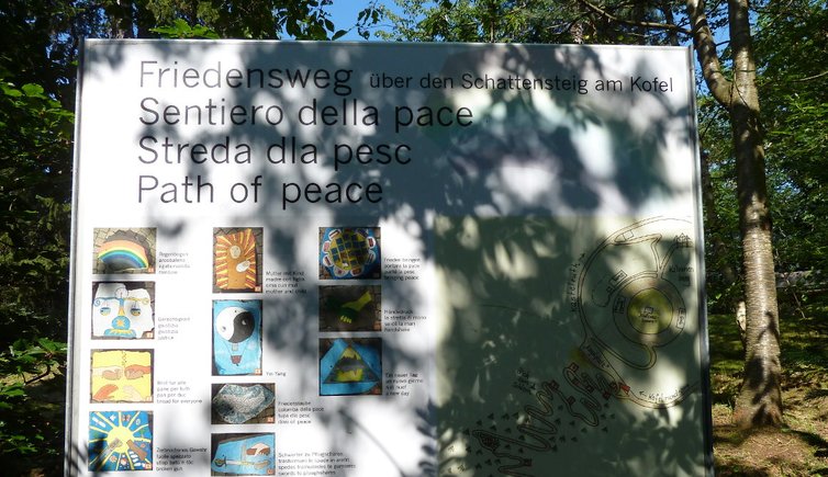
The Colle hill in Castelrotto is a small forested hill near the centre of the village and an important recreation area for both residents and tourists. In the year 2001 some teachers of the "Leo Santifaller" middle school in Castelrotto created the Castelrotto Peace Trail with its 14 peace stations and symbols. The trail can be taken in both directions, from the "Kegelplatz" square to the Colle or starting from the Rio Föstlbach.
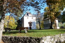
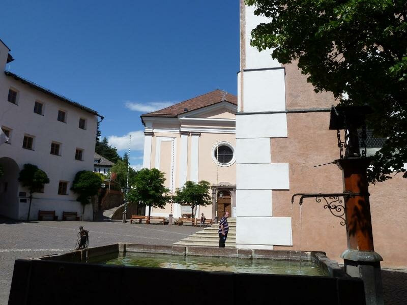
We start our tour in the centre of Castelrotto. Passing under the right arch of today's town hall and former residence of the Lords of Kraus, we head towards the Colle. Hiking up some steps, we pass two chapels until we finally reach the "Kegelplatz" square on the top of the Colle.
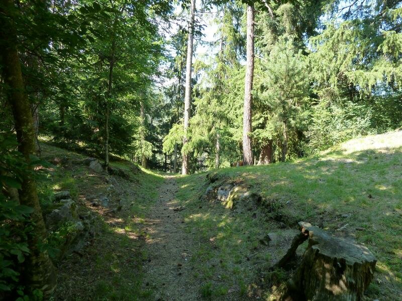
Now we are on the Castelrotto Peace Trail. And from here, we follow the Peace Trail and its 14 porphyry panels with painted peace symbols, realized along the steep "Schattensteig" trail. 1,099 m a.s.l. is the highest point of our walk along the Castelrotto Peace Trail.
Author: AT
-
- Starting point:
- village centre of Castelrotto
-
- Overall time:
- 00:45 h
-
- Total route length:
- 2,9 km
-
- Altitude:
- from 1.024 m to 1.099 m
-
- Altitude difference (uphill | downhill):
- +107 m | -107 m
-
- Signposts:
- 2, 15
-
- Recommended time of year:
- Jan Feb Mar Apr May Jun Jul Aug Sep Oct Nov Dec
-
- Download GPX track:
- Walking tour along the Castelrotto Peace Trail
If you want to undertake this hike, we recommend checking the weather and trail conditions in advance and on site before starting this hike!