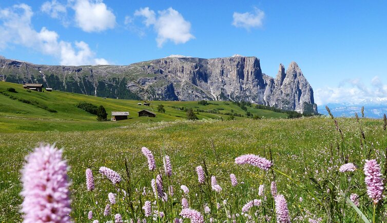
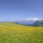
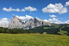
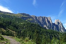
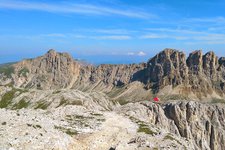
Thanks to its peculiar shape, the Sciliar (2,563 m a.s.l.) in the South Tyrolean Dolomites is the emblem of South Tyrol
Image gallery: Sciliar
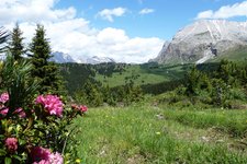
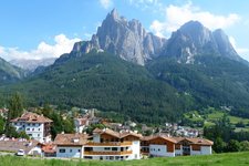
It was not the height but its unusual shape that made the Sciliar becoming one of the emblems of lovely South Tyrol. With its two mighty peaks, Punta Santner (2,413 m) and Punta Euringer (2,394 m), the Sciliar massif has got a very characteristic silhouette. The mighty crags have survived even the coldest glacial era. This is also the reason why here you might find some rare endemic plants and flowers, such as the Italian bellflower or a special kind of devil's claw.
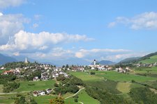
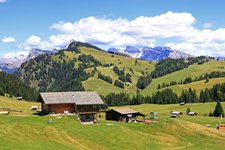
In 1974 the area surrounding the Sciliar massif was declared a nature park, nowadays it also includes the Catinaccio massif. Geology, flora and fauna are of special importance in the Sciliar-Catinaccio Nature Park, South Tyrol's oldest nature park. Numerous forest roads and hiking trails take you to and across the stunning natural landscape. You shouldn't miss this legendary spot!
