A lovely hike not only for geologists takes from Bagni di Razzes to the Prossliner alpine pasture and the Malghetta Sciliar mountain hut
Image gallery: Along the Geologist’s Trail to Siusi and the Alpe di Siusi
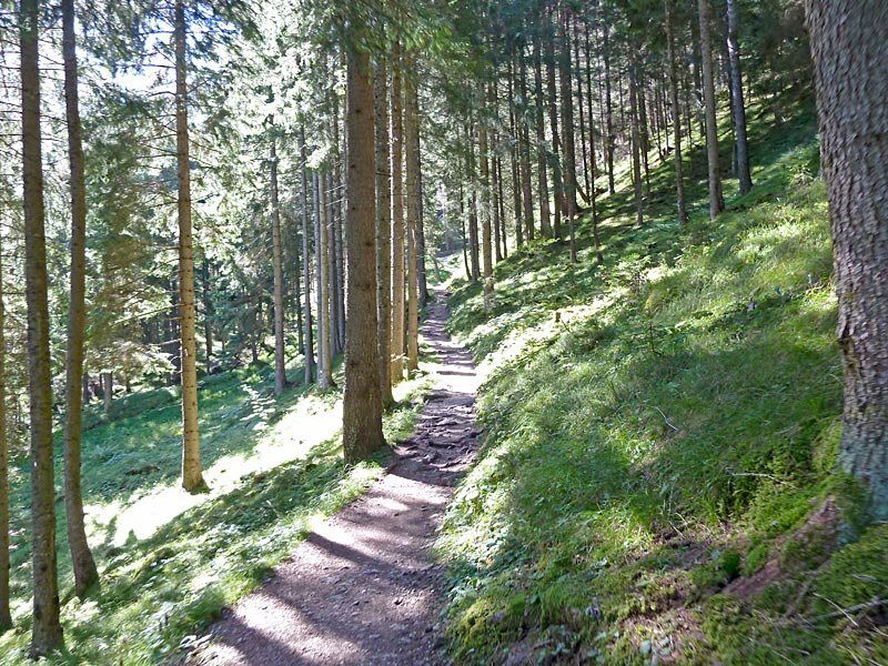
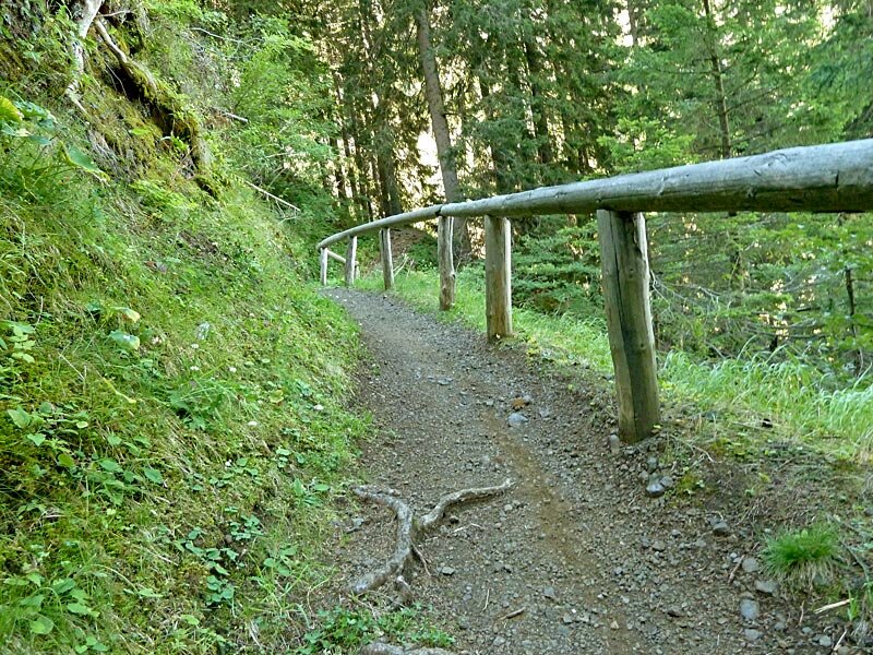
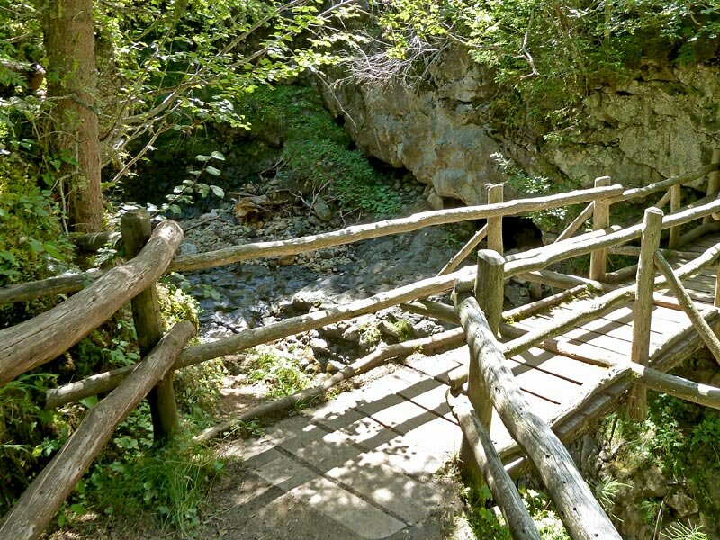
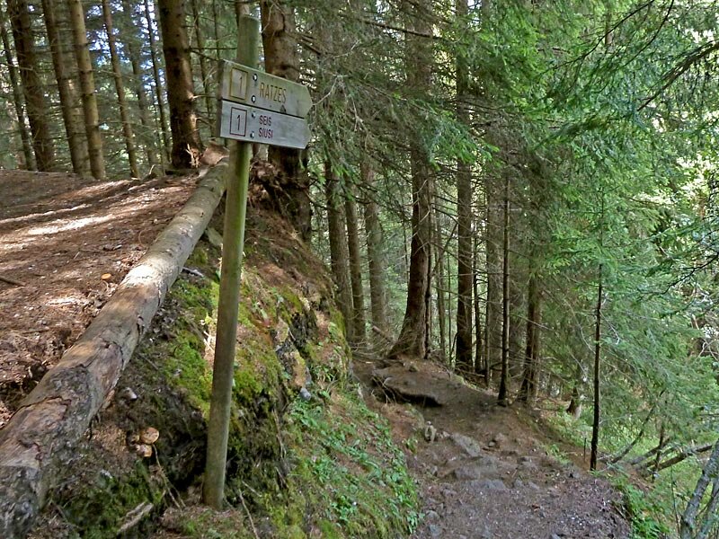
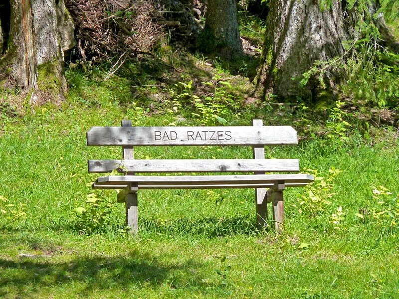
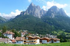
The path starts at the healing medical spring of Bagni di Razzes located to the east of the village of Siusi. Here we find a small parking space, furthermore there's a bus connection between Bagni di Razzes and Siusi allo Sciliar. The path no. 1 takes us over the bridge of the Rio Freddo. At the junction after the forest path we follow path no. 1A in the direction of the Prossliner alpine pasture.
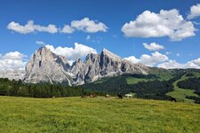
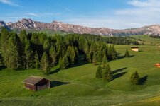
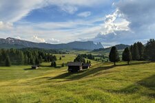
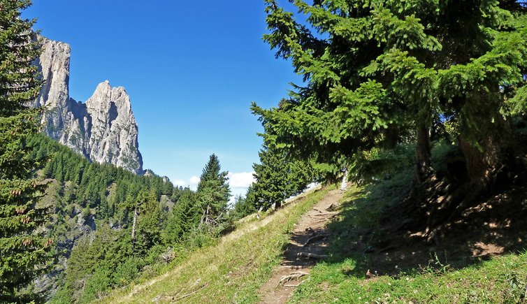
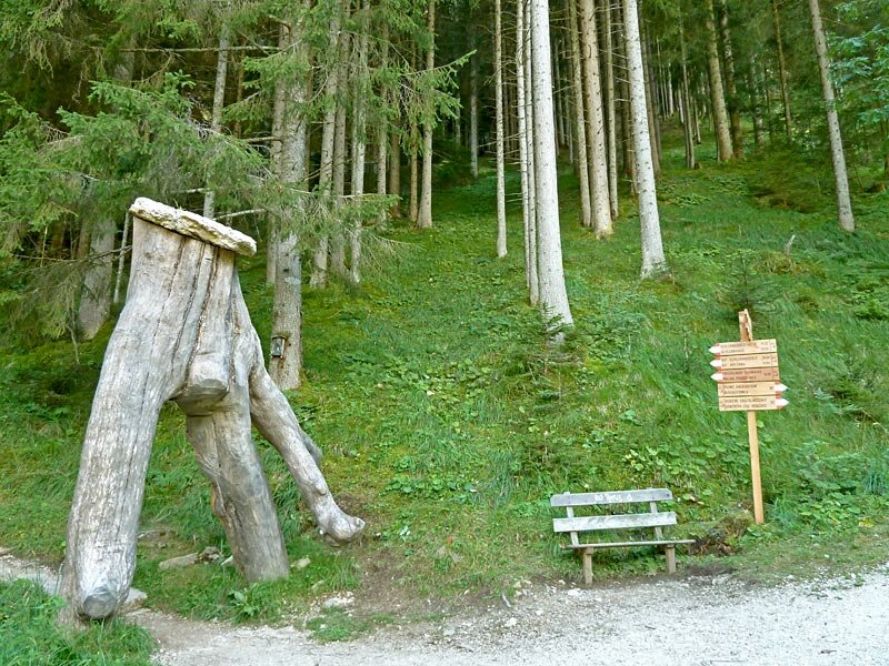
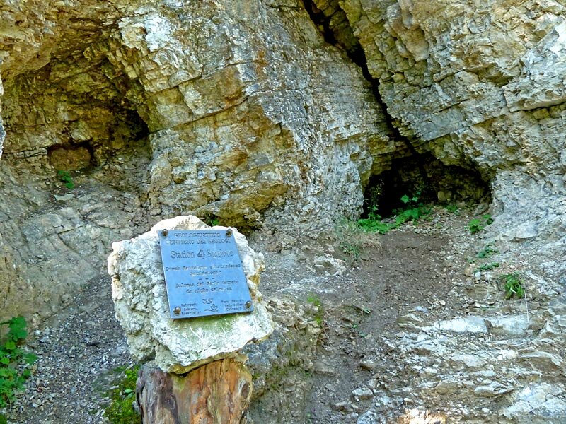
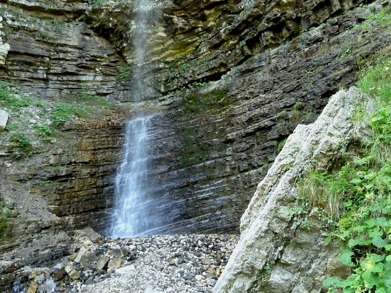
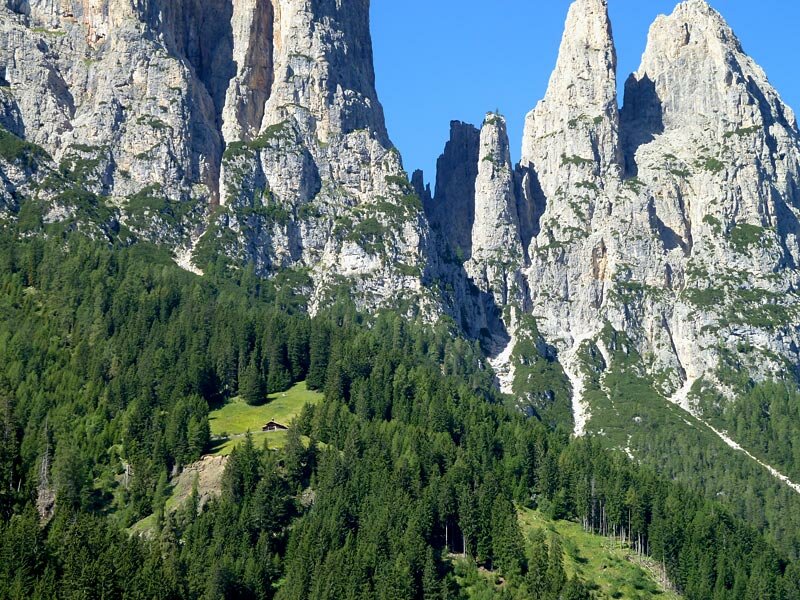
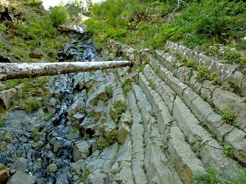
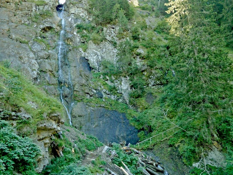
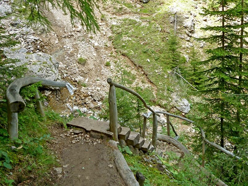
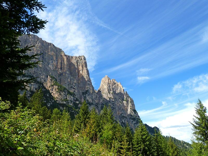
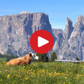
Along the natural and historical Geologist's Trail there are 10 information panels, erected by the Nature Park Office of the Autonomous Province of Bolzano. The panels reveal interesting information on the various stone layers of the Dolomites. The path winds from Bagni di Razzes at 1,212 m a.s.l. up to the Prossliner alpine pasture at 1,740 m. Leaving the deep gorge, we we find ourselves on the Alpe di Siusi highplateau with its green meadows and impressive views on the Dolomites, especially on Mt Sciliar and the Denti di Terrarossa (Horse Teeth) rock formations.
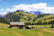
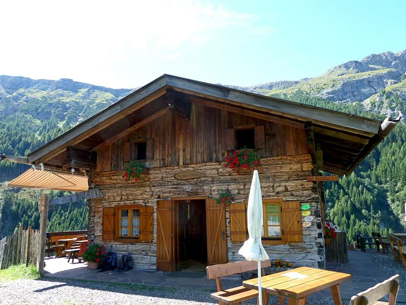
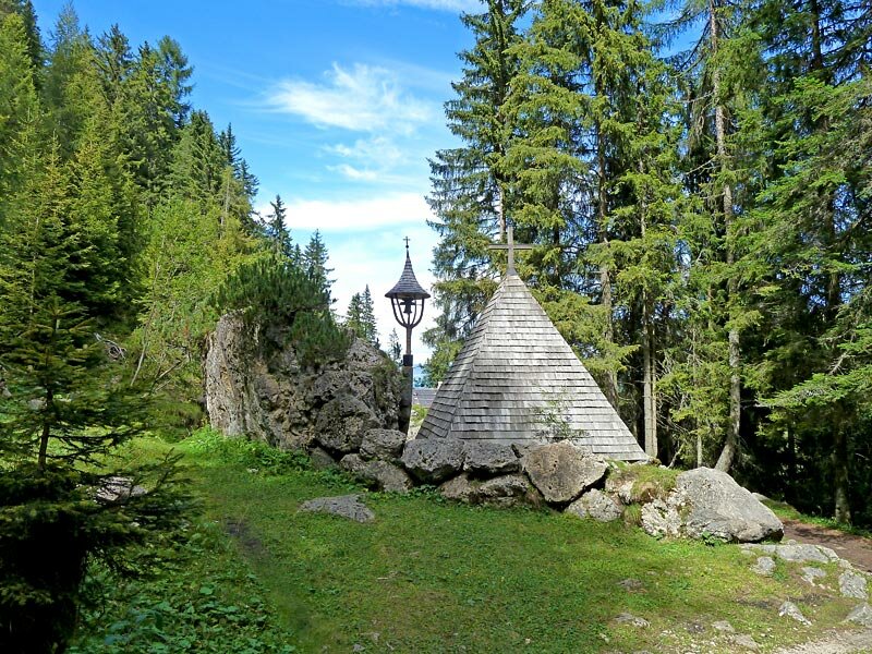
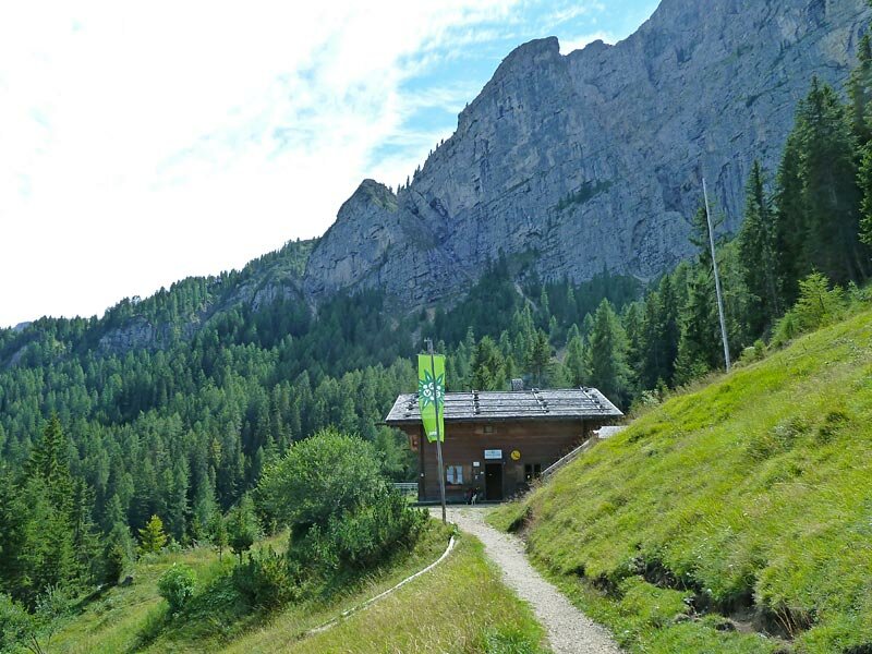
On the path no. 1A and then 1 we continue our hike to the Malghetta Sciliar mountain hut (1,693 m) and stop at the chapel of the ill-fated alpinists and hikers. On a steep path we finally take our way back to Bagni di Razzes, our starting point.
Author: AT
-
- Starting point:
- Bagni di Razzes near Siusi allo Sciliar
-
- Overall time:
- 03:05 h
-
- Total route length:
- 9,2 km
-
- Altitude:
- from 1.210 m to 1.822 m
-
- Altitude difference (uphill | downhill):
- +618 m | -618 m
-
- Route:
- Bagni di Razzes - Geologist's Trail - Prossliner alpine pasture - Malghetta Sciliar mountain hut - Bagni di Razzes
-
- Signposts:
- 1, 1A
-
- Resting points:
- Prossliner Schwaige, Schlernbödele mountain hut
-
- Recommended time of year:
- Jan Feb Mar Apr May Jun Jul Aug Sep Oct Nov Dec
-
- Download GPX track:
- Along the Geologist’s Trail to Siusi and the Alpe di Siusi
If you want to undertake this hike, we recommend checking the weather and trail conditions in advance and on site before starting this hike!